Experience – Rio de Janeiro, Brazil: Hiking Pedra da Gavea
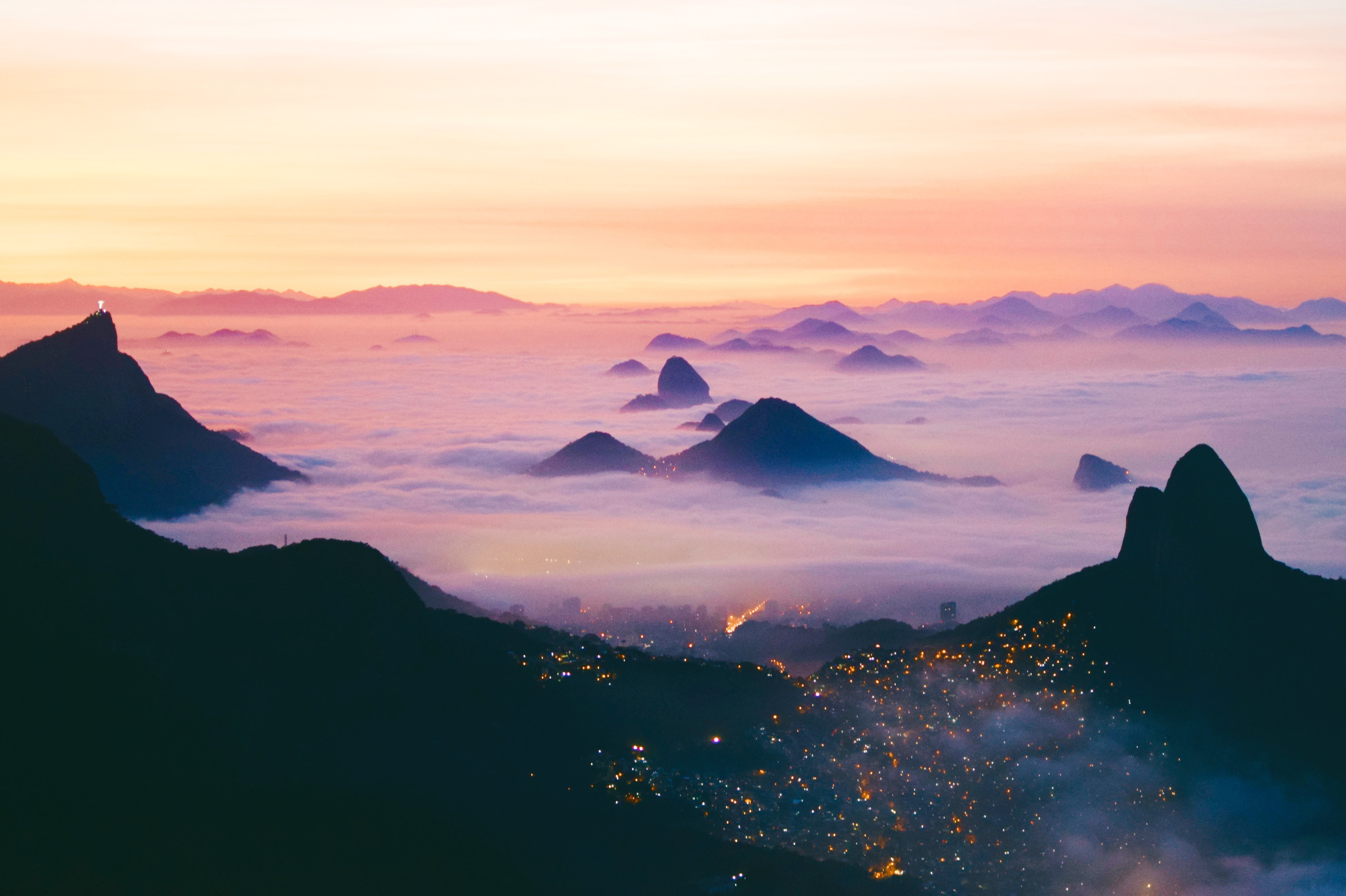
Pedra da Gávea, which rises 2,769 ft / 844 m nearly straight up from the ocean, has one of the most spectacular views of Rio de Janeiro anywhere in the city. It is considered the largest coastal monolith in Brazil, separating Rio de Janeiro’s neighborhoods of Barra da Tijuca to the west and São Conrado to the east.
Trailhead
The Pedra da Gávea trailhead is located on the eastern side of Barra da Tijuca. In order to get to the trail, you’ll pass a guarded gate at the bottom of a steep road. Pass through the gate and follow the road up.
Continue walking up the road until it appears to end, and then follow it up a little further. The road curves left and then flattens out as you begin to arrive at the Pedra da Gávea trailhead.
Once you reach the trailhead sign, there will be a check-in station at a small hut. You’ll be asked to write down your information (name, date, time, number in group, etc.), however there is no entrance fee.
After you check in, it’s time to begin the Pedra da Gavea hike!
The Trail
The trail starts by following an upward sloping path. After a few minutes of hiking, it turns into a dirt walking track.
Walk along trail until you reach a tree with a sign that states the trail up to Pedra da Gávea is to your left and a waterfall (cachoeira) is to your right (the waterfall is not worth a visit).
The first part of the trail is filled with tree roots and is very easy to follow. After a while the trail becomes more challenging, passing through a series of rocky sections that require you to use both your hands and feet.
As you continuing the climb, the dirt eventually turns a reddish tint as the trail opens up and you approach Mirante da Laje (a small open section with a large rock and a view of the Tijuca Forest to the north).
From Mirante da Laje you have the best view of Cabeça do Imperador (The Emperor’s Head), where people say you can see a face in the rock above.
Before you reach the steep part of the Pedra da Gávea hike you will reach a small spur trail on the left side that leads to a spot known as Paredão. The trail is fairly easy to miss, but Paredão is a great photo opportunity just before you reach the Carrasqueira.
The Carrasqueira
For most hikers, the Carrasqueira is the scariest section of the Pedra da Gavea hike. The Carrasqueira is a steep thirty-five meter rock section that must be scaled to reach the next part of trail.
The climb up the Carrasqueira isn’t too technical or difficult, but it’s enough to keep many hikers off the summit. There are multiple ways to climb up the Carrasqueira and there are plenty of spots where climbers can stop and relax on their way up.
This area is often the bottleneck of Pedra da Gavea on a crowded day. Again, there are many routes up, so don’t be afraid to get creative or go around someone.
After the Carrasqueira, the trail flattens out as you hike south along the base of the massive granite stone above you. You will eventually pass an area that looks like a cave, and you can either take a left up a few rocks for a steep climb up to the summit, or continue straight and follow the trail around the southern side to the top.
The Summit
You will arrive to the summit from the western edge; to your left is the high point, and to your right are spectacular views of São Conrado and Zona Sul.
In order to get to the northern side of the summit, you have to descend a small section of rock (via a chain) and then climb up a wet rock section.
For incredible views of Pedra Bonita and the Tijuca Forest, make sure to hike to the northernmost point of the summit.
The best lighting for photos of the the east (Zona Sul) is in the afternoon, and the best time for photos of Barra da Tijuca (to the west) is in the morning.

